


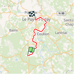

10.3 km | 13 km-effort


User


FREE GPS app for hiking
 SityTrail
IGN / Geographical institutes
SityTrail World
The world is yours!
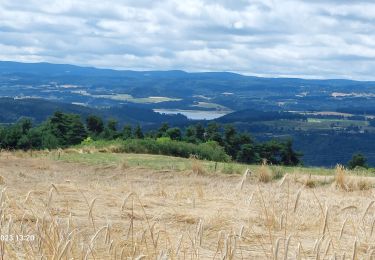
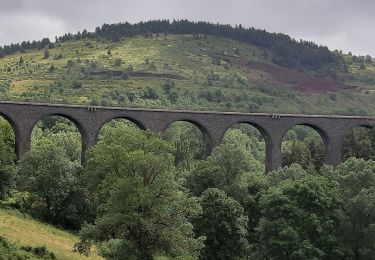
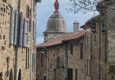
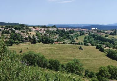
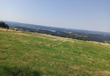
Trail Cycle of 26 km to be discovered at Auvergne-Rhône-Alpes, Haute-Loire, Le Brignon. This trail is proposed by cathyetyves.
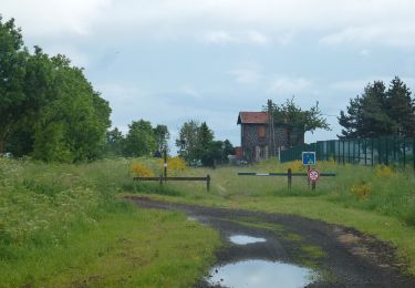
Le parcours emprunte une ancienne voie de chemin de fer, la voie est recouverte de petits graviers très roulants pour les vélos, des paysages magnifiques, plusieurs tunnels éclairés, pour certains de près de 1200 m, une descente en pente douce sur le Puy en Velay.
Walking
Walking
Walking
Walking
Walking
Walking
Walking
On foot
Mountain bike